IMD alerts North and Central India for snow, hail and rain from 26 January; impact peaks around 27 January
A fresh western disturbance is set to bring a broad spell of unsettled weather across North, Northwest and parts of Central India from 26 January 2026, with the sharpest impact expected around 27 January before conditions start easing by 28 January.
What the IMD is warning about
India is heading into another intense weather spell beginning Monday, 26 January 2026, as a new western disturbance moves in. The India Meteorological Department (IMD) has flagged the risk of heavy snowfall in higher reaches, hailstorms in pockets, thunderstorms, gusty winds and widespread rainfall affecting multiple regions across the north, northwest and parts of central India.
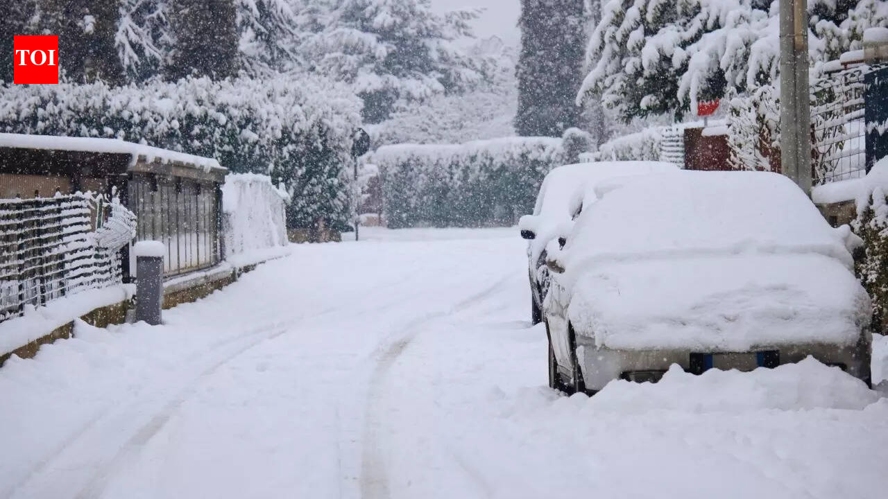
According to the forecast cited in the report, the system is expected to strengthen through 26 January and peak on 27 January 2026, when the heaviest snow and the most active hail/thunderstorm conditions are likely. From 28 January, the disturbance should begin weakening, though stormy conditions may still persist in some areas.
Fog and cold wave conditions continue
Ahead of the new disturbance, dense fog and cold-wave conditions are expected to continue in parts of North India through 26 January. This combination of fog, cold and incoming rain/snow can worsen travel disruption and reduce visibility during early morning and late-night hours.
Travel and safety advisories
- Plan for visibility drops due to fog, and allow extra time for road and rail travel.
- In hill states and higher-altitude routes, anticipate snow-related closures, chain requirements and delays.
- During thunderstorms/hail, avoid open areas and unsecured temporary structures; secure loose outdoor items at home.
- Check local advisories before heading to tourist regions, especially mountain corridors.
With Republic Day travel underway on 26 January 2026, authorities and travellers are being urged to monitor district-level alerts and real-time road updates, particularly in snow-prone belts, where conditions can shift quickly once precipitation begins.