IMD flags fresh western disturbance: snow, hail and widespread rain likely from Jan 26
A new western disturbance is expected to push unsettled weather across north, northwest and parts of central India from Monday, with the IMD warning of heavy snow in higher reaches and thunderstorms, hail and gusty winds elsewhere. The system is likely to peak on Jan 27 before easing, though stormy conditions may linger into Jan 28. Dense fog and cold-wave conditions are also expected to persist in pockets until Jan 26, prompting travel advisories.
What the IMD is warning about
India Meteorological Department (IMD) alerts indicate a new western disturbance will influence weather across northern, northwestern and parts of central India starting Monday, 26 January 2026. Forecast impacts include heavy snowfall in higher-altitude areas, along with hailstorms, thunderstorms and gusty winds across several plains regions.
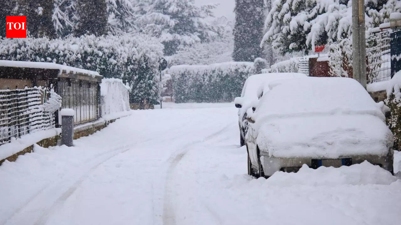
The IMD expects the system’s intensity to build through Tuesday, 27 January 2026, when the most disruptive conditions are likely—stronger winds, heavier snow in the hills, and more intense hail/thunderstorm activity. Conditions are expected to start weakening from Wednesday, 28 January 2026, but pockets of stormy weather may still continue.
Fog, cold wave and travel disruption risk
Before the western disturbance fully takes hold, dense fog and cold-wave conditions are forecast in some areas up to 26 January 2026. With reduced visibility and rapid weather changes, authorities and weather bulletins have advised extra caution for road travel and for people planning to be outdoors for long periods.
The combination of fog, precipitation, and gusty winds can cause delays and diversions for transport. Hill routes may see closures or slow movement if snow intensifies. Travellers are advised to track local updates, carry essentials, and allow additional time for journeys during the peak-impact window around 27 January.
What residents can do
- Check district-level alerts for snow, hail and thunderstorm warnings before travel.
- Avoid unnecessary hill travel during peak snowfall hours; keep chains/traction aids if driving in snow-prone belts.
- During lightning/thunderstorm warnings, stay indoors and avoid open areas or sheltering under trees.
- Prepare for short power interruptions and waterlogging in vulnerable localities.
- If you’re commuting early morning, plan for fog-related low visibility and slower traffic.
Meteorologists typically note that western disturbances can bring sharp day-to-day swings in temperature. After rainfall or snowfall, a renewed chill can set in at night, so people in affected areas may need to adjust travel and daily routines accordingly through mid-week.