IMD issues multi-state alert as fresh western disturbance set to trigger snow, hail and widespread rain from Jan 26
The India Meteorological Department has warned of another active western disturbance from January 26, with heavy snowfall, hailstorms, thunderstorms, gusty winds and fog expected across parts of north, northwest and central India. The impact is forecast to peak on January 27 before gradually weakening, though unsettled weather may persist into January 28. Authorities have urged travellers to plan for disruptions and reduced visibility, especially in fog-prone belts.
What’s changing from Monday
A new western disturbance is expected to push unstable weather across large parts of India beginning Monday, January 26, 2026. The India Meteorological Department (IMD) has flagged a mix of heavy snowfall in higher reaches, along with hailstorms, thunderstorms and strong winds in several plains and adjoining regions. The advisory comes as many areas are already coping with cold-wave conditions and fog in pockets.
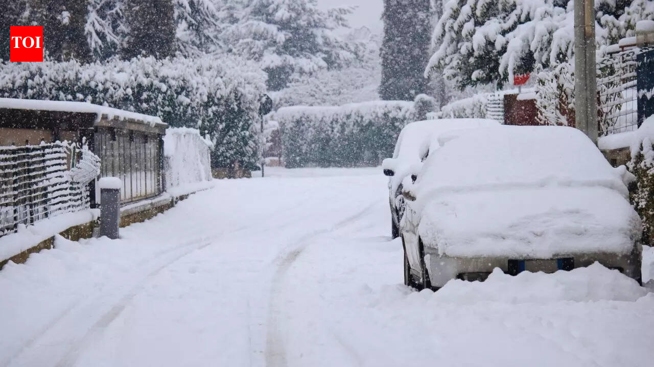
Forecasters say conditions are likely to worsen through Tuesday, January 27, which is projected to be the most active day of the spell. In addition to rain and thunderstorms, some belts may see intense hail activity and gusty winds, increasing the risk of travel delays, localised power disruptions and damage to standing crops where hail occurs.
Peak impact expected on Jan 27
According to the IMD-linked alert, the strongest phase of the system is expected on January 27, with heavier snow possible in the mountains and a wider spread of storms and rain in the adjoining regions. After that, the disturbance is forecast to ease gradually on January 28, although the atmosphere may remain unsettled and sporadic stormy conditions could continue in some areas.
The advisory also notes that dense fog and cold-wave conditions are expected to continue in some parts till January 26, which can compound commuting risks. Motorists are being advised to anticipate low visibility during night and early-morning hours, while airlines and rail services may face knock-on delays if fog intensifies.
What travellers and residents should prepare for
- Check local forecasts before road travel, particularly on mountain routes where snowfall can shut passes quickly.
- Allow extra buffer time for flights and trains, as fog and storms can disrupt schedules.
- Avoid exposed ridgelines and open areas during thunderstorms; secure loose outdoor items where gusts are likely.
- Farmers in hail-risk pockets may consider short-term protective steps for vulnerable crops where feasible.
With Republic Day travel and public movement set to rise in many places, authorities have urged people to follow local advisories and keep an eye on real-time updates as the system develops.